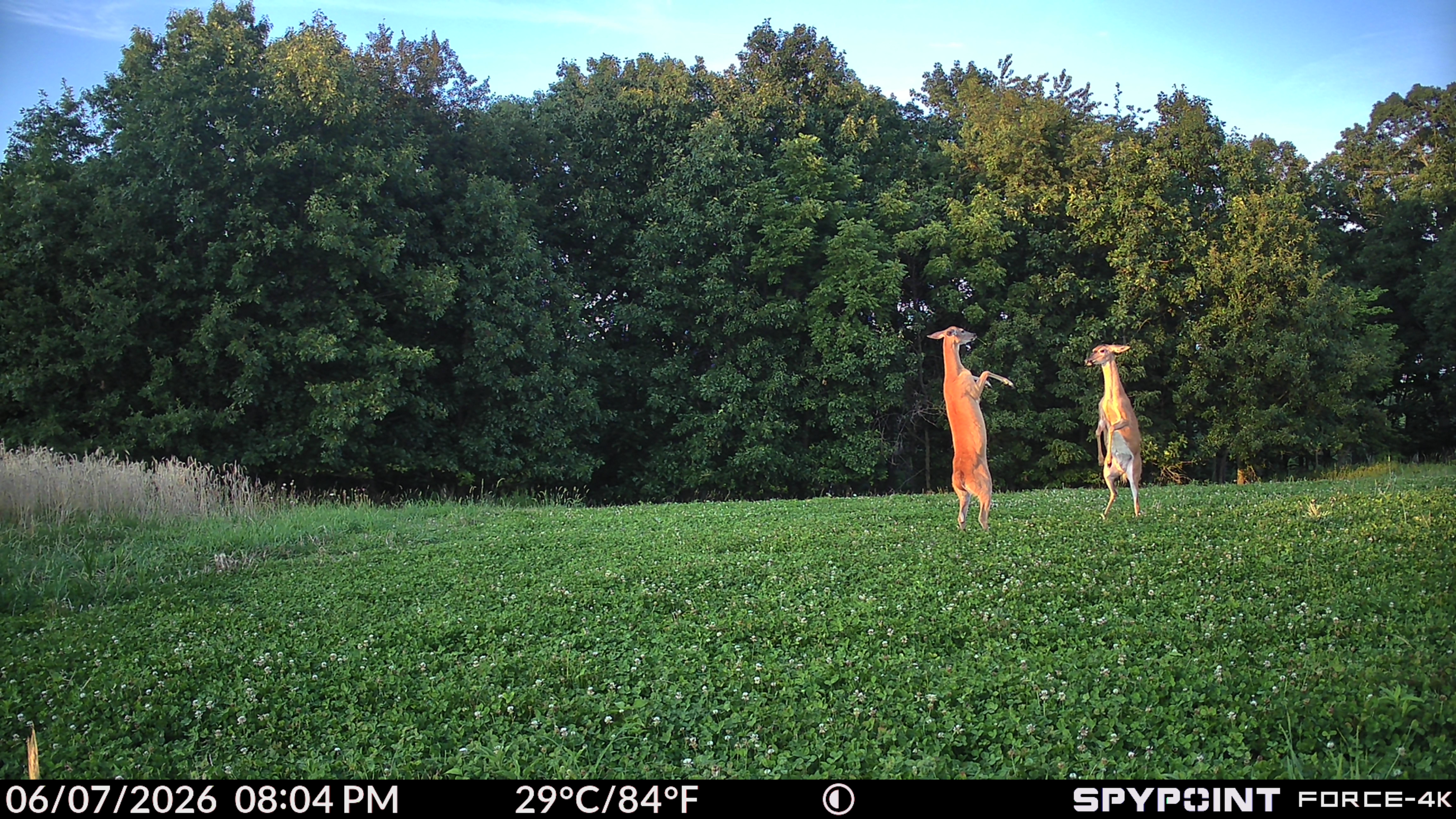
A good scouting plan does not stop when cell service gets weak.
Hunters spend a lot of time in places where connectivity is limited, unreliable, or completely gone. That might be deep timber, remote farm country, mountain terrain, or a property line just far enough from town that your phone becomes more hopeful than helpful.
That is why the latest SPYPOINT app map features are focused on making scouting more reliable, more collaborative, and easier to manage in the field.
With new offline map functionality and collaborative group mapping tools, the SPYPOINT app is designed to help hunters plan smarter, share information more easily, and keep working even when service is not cooperating.
Some of these advanced map tools are available through the SPYPOINT Insiders Club, giving members more ways to plan, organize, and share scouting information.
Offline Maps for Low-Signal Areas
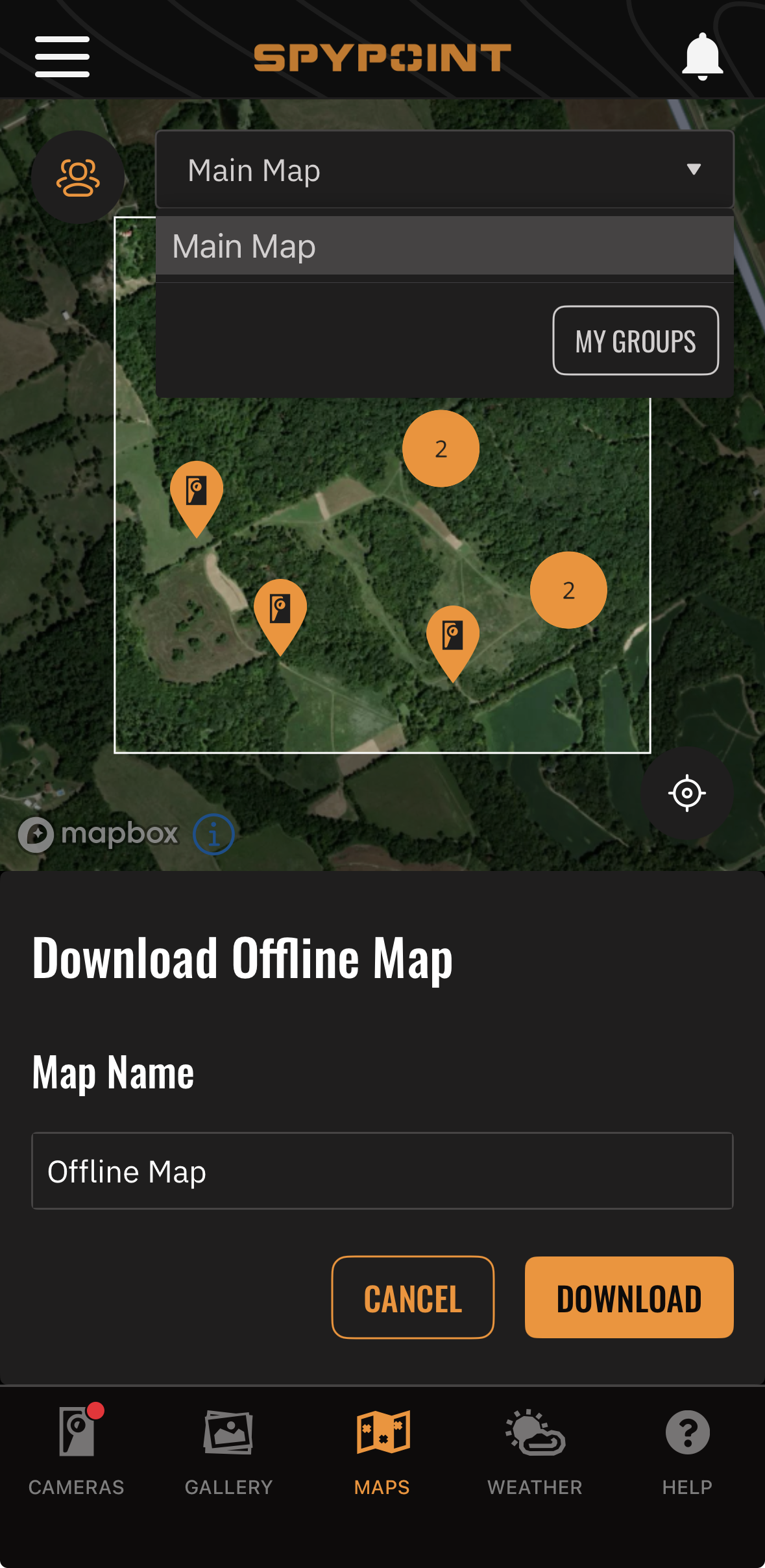
One of the biggest updates is Offline Mode for maps.
Offline Mode allows users to download map areas ahead of time and access them later without an internet connection. That means you can prepare at home, download the areas you plan to hunt, and still use key map features once you are in the field.
When offline, users can view previously downloaded map areas, switch between supported map styles, and use core map tools like markers, shapes, and distance measurements. Cached layers, such as land property information, can also remain available when downloaded ahead of time.
For hunters, that is a major advantage. You can mark stand locations, measure access routes, outline bedding areas, or reference property boundaries even when your phone has no service.
Plan Before You Go, Scout When You Get There
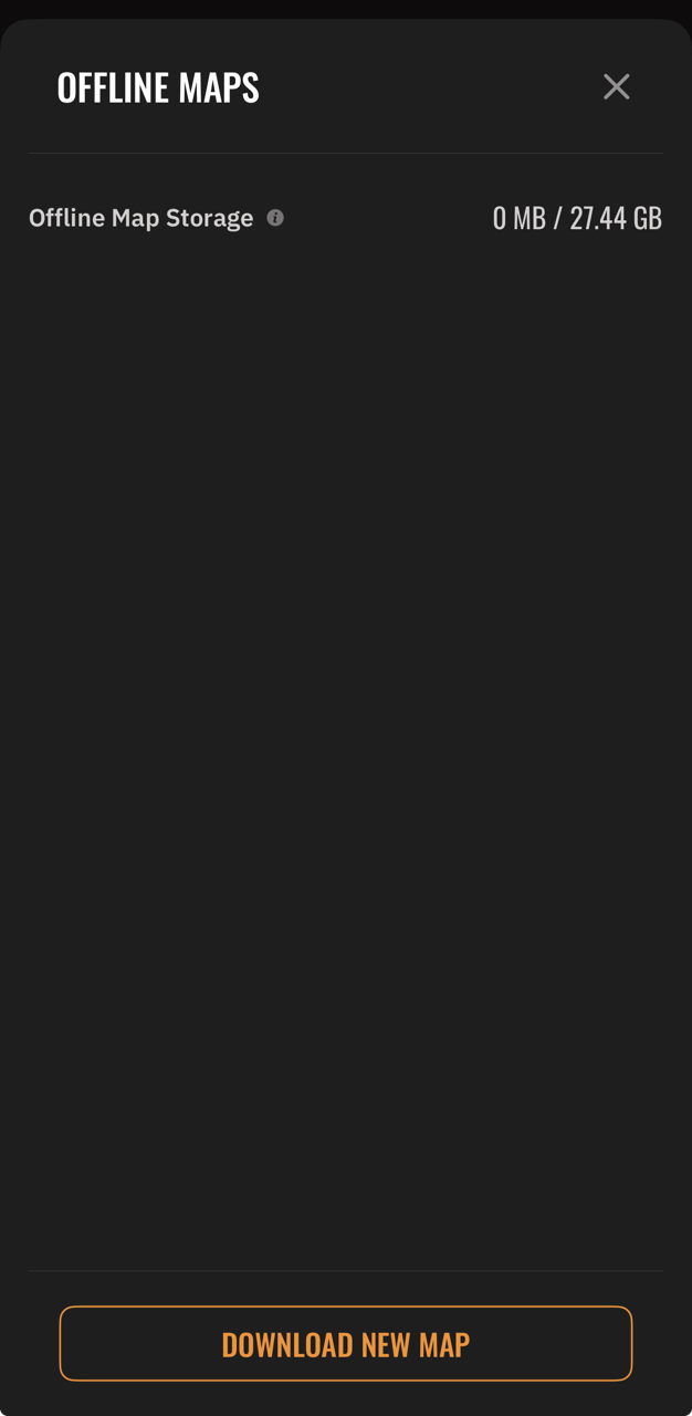
Offline maps are especially useful for hunters who like to plan ahead.
Before heading into a property, users can download the area they need and have it ready for field use. Once on-site, the app can continue to support important scouting tasks without relying on live connectivity.
That can help when placing cameras, checking access routes, marking sign, or measuring the distance between a trail camera and a stand location.
It also adds confidence. Instead of wondering whether the map will load once you reach the property, you can know the area is already saved and ready to use.
Better Performance in the Field
Offline access is not just about having a backup when signal disappears. It can also help maps respond faster by using locally stored data.
That matters when you are trying to make quick decisions in the field. Whether you are confirming a boundary, checking terrain, or deciding where to place a camera, faster map access can make the experience smoother.
Offline Mode can also reduce network usage, which may help conserve battery life during long days outdoors.
Collaborative Group Maps
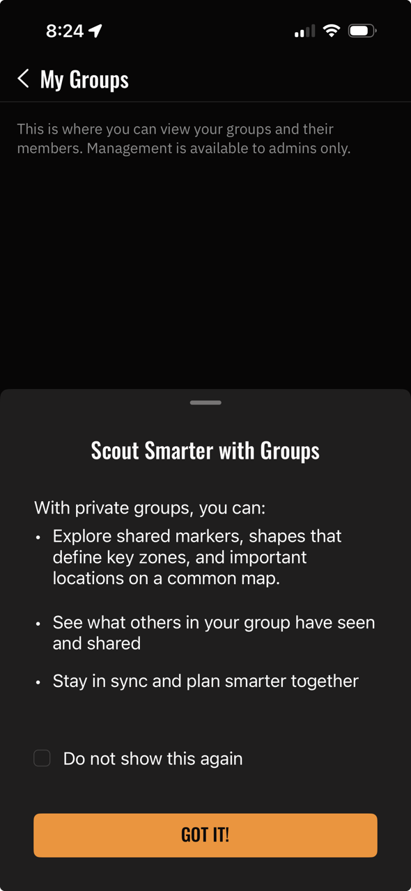
Another major update is collaborative group mapping.
With Group Maps, SPYPOINT Insiders Club members can create a shared map and invite other users to collaborate. Group members do not need to be Insiders Club members to join, but the group admin must be a member to create and manage the collaborative map.
That makes Group Maps a useful benefit for hunting partners, lease members, land managers, or family groups who want to stay organized on the same property.
Instead of everyone keeping separate notes, pins, and screenshots, a collaborative map gives the group one shared place to organize key scouting information.
Group members can add markers and shapes, while map changes synchronize for the group. Admins have additional control, including the ability to manage map items from other users.
Share Scouting Information More Easily
Collaborative Group Maps can be especially helpful when multiple people hunt the same property.
A group can mark stand locations, access routes, food sources, bedding areas, camera locations, property features, and other important scouting information. This makes it easier to communicate what is happening across the property without relying on long text threads or separate map screenshots.
Users can also choose to share their own SPYPOINT camera markers on a collaborative map. Shared camera markers can be visible to other group members, helping everyone understand where cameras are placed and how the property is being monitored.
For current camera owners, that can make it easier to connect trail camera intel with real-world scouting strategy.
Built for Real Hunting Situations
These updates are designed around how hunters actually use maps.
You might be walking a new property with limited service. You might be setting cameras before season. You might be coordinating stand locations with other hunters. You might be managing multiple access routes, checking wind direction, or trying to understand how deer are moving through a property.
Offline maps help keep your tools available when service drops. Collaborative maps help keep your group on the same page.
Together, they make the SPYPOINT app more useful before, during, and after time in the field.
Smarter Scouting Starts With Better Organization
Trail cameras provide the intel, but maps help turn that intel into a plan.
With offline access and collaborative group mapping, the SPYPOINT app gives hunters more ways to organize information, reduce confusion, and make better decisions in the field.
For Insiders Club members, features like collaborative Group Maps add even more value by making it easier to coordinate with hunting partners, lease members, or family members on the same property.
Whether you are scouting solo, managing a lease, sharing a property with friends, or planning camera placement for the season ahead, these new app features are built to help you stay prepared and keep scouting even when conditions are less than perfect.